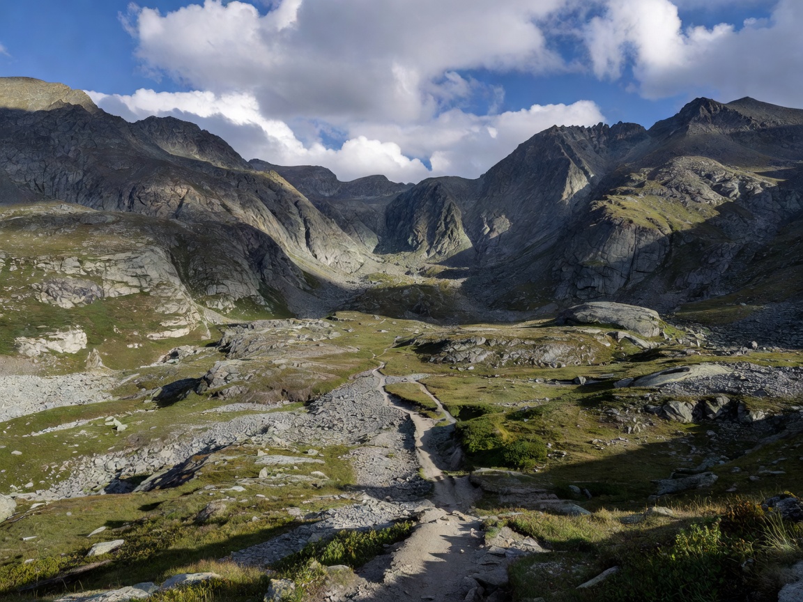
Alpine destinations are not one kind of road. A maintained gravel connection, a forest access track and a rough high-elevation path ask different things of the driver, vehicle and plan. Start by confirming that the route is permitted for your vehicle and intended use. Then assess the surface, climb, exposure and options for turning back.
01 / ROUTE FAMILIES
Five terrain types. Different demands.
Gravel roads may be broad and regularly graded, or narrow, loose and corrugated. Surface appearance can change after rain or maintenance. Expect dust in dry periods and reduced grip where loose material covers firmer ground.
Mountain tracks can include steep sections, uneven rock, drainage channels and limited passing space. Their label does not establish a difficulty rating. Inspect map detail and local route descriptions, then decide whether the vehicle and driver are suited to the likely features.
Forest access roads can be shaded, damp and enclosed. Roots, mud, fallen material and low branches may affect clearance and visibility. Some are operational or private roads. Confirm permission before entry.
High-elevation routes are more exposed to wind, rapid weather shifts and reduced visibility. Surface conditions can change over short distances. A route that appears simple at valley level may become demanding above tree line.
Valley connections and viewpoints can be useful links or destinations, but narrow approaches and limited parking may create conflicts. Do not block gates, emergency access or local traffic.
02 / TERRAIN COMPARISON
Read the route, not just the label.
Gravel road
Advantages: often easier to read and plan than rough tracks. Trade-offs: dust, loose edges, washouts or changing maintenance.
Forest access
Advantages: shelter from some wind and direct sun. Trade-offs: damp surfaces, restricted sightlines and uncertain access.
High route
Advantages: open terrain and clear orientation landmarks in good visibility. Trade-offs: exposure, weather sensitivity and fewer alternatives.
Mountain track
Advantages: varied terrain for suitable vehicles and prepared drivers. Trade-offs: uneven ground, pinch points and higher recovery consequences.
03 / ROUTE DIFFICULTY
Use categories as a screening tool.
There is no single difficulty scale that applies across every region. Treat any category as a prompt to investigate, not an official rating. Ask what the description means in practical terms: steepness, loose surface, exposed edges, water crossings, narrow width, obstacles, recovery access and the availability of a turnaround.
Match the route to the least capable vehicle and driver in the group. A capable 4x4 does not remove the need for legal access, careful judgement or a retreat plan. If the route description is vague, seek current local information or choose a route with clearer surface and exit options.
04 / ELEVATION & EXPOSURE
Elevation changes the margin.
Elevation is more than a number on a map. Climbing can increase travel time, expose the vehicle to stronger weather and leave less shelter. Shaded bends may remain wet while open slopes dry. A ridge can experience poor visibility even when the valley is clear.
Review the profile for sustained climbs, high points and descent length. Mark places where a safe turnaround may be possible without damaging ground or obstructing others. Do not assume a visible track continues through a pass or connects to another road.
05 / ACCESS & NAVIGATION
Permission comes before route choice.
Access varies by location and season. Roads may be public, private, seasonal, restricted by vehicle type or closed for safety, conservation or operational reasons. This guide does not confirm permissions, opening dates or current conditions. Check the responsible local authority, land manager or other authoritative source before departure.
Use an up-to-date map and keep an offline copy where coverage may be limited. Identify junctions, route exits and alternatives. A mapped line may be inaccurate, obsolete or depict a route that is not open to motor vehicles. Never bypass a gate or barrier because navigation software continues to show a road.
GOOD FOR
Good for comparing terrain before committing.
Use this guide to shortlist route types, identify questions and match terrain to vehicle capability. It is not a route directory or access permit.
What to check
- Current access, restrictions and seasonal limitations.
- Surface, width, gradient, exposure and safe exit options.
- Weather forecast, daylight and independent navigation sources.
- Whether the group can turn around without causing damage.