A short mountain route can demand significant preparation. Low average speed, rough surfaces, weather holds, careful passing and navigation checks can stretch a modest distance into a full day. Plan from the terrain outward. Set a realistic time window, choose a conservative turnaround point and keep an alternative that does not depend on crossing the same uncertain section.
01 / DISTANCE & ELEVATION
Measure effort, not just kilometres.
Record total distance, expected climb and the profile of the route. A long, smooth approach may be easier to estimate than a shorter route with sustained ascent, narrow sections or frequent stops. Map-based travel times often assume road conditions and speeds that do not apply to rough mountain surfaces.
Break the route into legs. Note junctions, high points, planned rest stops and the last reliable exit. Allow time for checks and for reversing a plan. Treat the profile as a planning aid, not a guarantee: construction, erosion, snow, debris or access restrictions may change what is passable.
02 / SURFACE & EXPECTED TIME
Build time around uncertainty.
Identify the likely surface: paved approach, graded gravel, loose stone, mud, rock or a combination. Each can affect speed, comfort, traction and vehicle wear. Surface information may be old. Keep a margin for a slower pace and stop if visibility or conditions make progress unsafe.
Compare at least two sources for route shape and connections. Look for narrow sections, steep gradients, exposed edges, limited passing places and areas with no obvious turnaround. Do not infer that a mapped track is open or suitable for motor vehicles. Check local access information before departure.
03 / FUEL & DAYLIGHT
Plan for the return leg first.
Use the vehicle maker’s guidance and your own known consumption as a planning baseline. Mountain climbs, low-speed travel, cold starts, detours and waiting can increase fuel use. Identify legitimate refuelling options before entering remote areas. Do not rely on an unverified outlet or assume another vehicle can supply fuel.
Set a departure cutoff and a firm time to turn back. Check the day’s usable light for the location and season through a reliable local source. A route that remains technically passable after dark may still be a poor choice when visibility, fatigue and navigation confidence fall.
04 / WEATHER & COMMUNICATION
Weather changes the route.
Check a suitable forecast close to departure and understand what it does not tell you about a specific slope, pass or valley. Rain can alter runoff and surface grip. Wind, cloud and precipitation can reduce visibility. Conditions can differ over short distances and change quickly at elevation.
Tell a trusted person the broad itinerary and check-in expectation. Choose communication equipment for the actual coverage and terrain. A mobile phone may be useful but should not be the only contingency in a remote area. Know how you will respond if the route, weather or vehicle condition forces an early exit.
05 / NAVIGATION REDUNDANCY
Carry a second way to understand position.
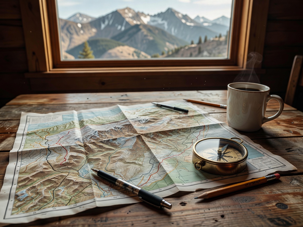
Download offline maps before leaving coverage. Keep a charged primary device and a separate power option. A paper map or another independent navigation method can help if a screen, battery or signal fails. Confirm the map covers the entire planned route and includes a useful scale for junction decisions.
Mark key turns, exits, access boundaries and safe stopping areas in advance. Do not follow a device into a closed road, private property or terrain outside your capability. If the map and visible route disagree, stop in a safe place and verify rather than continuing on assumption.
06 / TURNAROUND & EMERGENCY PLAN
Define the point where “no” is the plan.
Choose a turnaround location before the difficult section, not after reaching it. Make sure the location is broad enough to turn without damaging vegetation, soft ground or the road edge. Decide which conditions trigger retreat: deteriorating visibility, a blocked route, a mechanical warning, a late arrival or uncertainty about permission.
Carry essentials appropriate to the route, group and season. Consider water, warm layers, first aid, lighting, communication power and recovery support. Keep emergency access clear. If an incident needs outside help, provide a clear location and follow the instructions of local emergency services. Do not attempt a recovery beyond your training or equipment.
GOOD FOR
Good for turning a route idea into a decision plan.
Use the method for day trips, remote approaches and unfamiliar terrain. It is especially useful when route descriptions are incomplete or mobile coverage is uncertain.
Practical route-planning checklist
- Confirm permission, restrictions and local access updates.
- Map distance, elevation, surface, exits and alternatives.
- Estimate time conservatively; set a turnaround deadline.
- Check weather, daylight, fuel and vehicle readiness.
- Save offline navigation and a separate backup.
- Share itinerary and emergency communication plan.
- Cancel or retreat when conditions exceed the plan.